
The Negros Oriental Provincial Disaster Risk Reduction and Management Office (PDRRMO) is recommending to local counterparts a review of their geohazard maps to determine suitability to changing weather patterns, an official said Jan. 6.
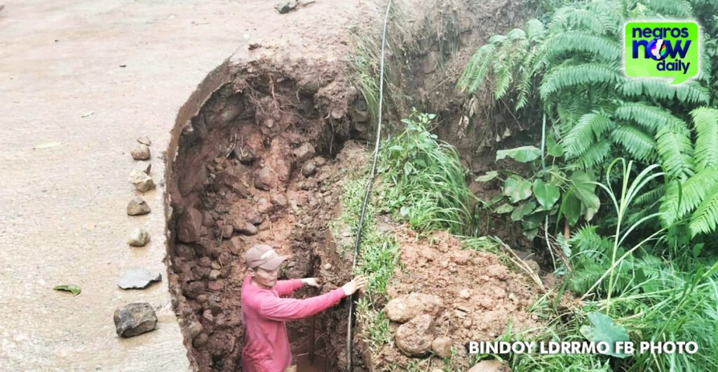
Unprecedented heavy rainfall over the weekend, especially in the northern towns, resulted in flooding, landslides, power and water supply cuts, and impassable roads.
Adrian Sedillo, PDRRMO head, told the Philippine News Agency that the abnormal amount of rainfall was caused by the shear line.
He noted that based on observations of different DRMMOs, floodwaters found their way in “new” courses, such as central district areas.
Hundreds of residents were displaced and “substandard” infrastructures were exposed.
Sedillo said a review of the hazard maps, with assistance from the Mines and Geosciences Bureau, would help identify and determine which areas need immediate “additional engineering interventions” to prevent future flooding.
The DRRMOs noted that silted rivers led to rapidly increasing water levels due to shallow riverbeds.
Sedillo said he has requested the province’s Environment and Natural Resources Division for possible dredging of rivers, although the Department of Public Works and Highways is in charge of the assessment of components of the rivers. ||